Global Cartography in Motion
Explore dynamic landscapes powered by our POI Polygons Map Layer™
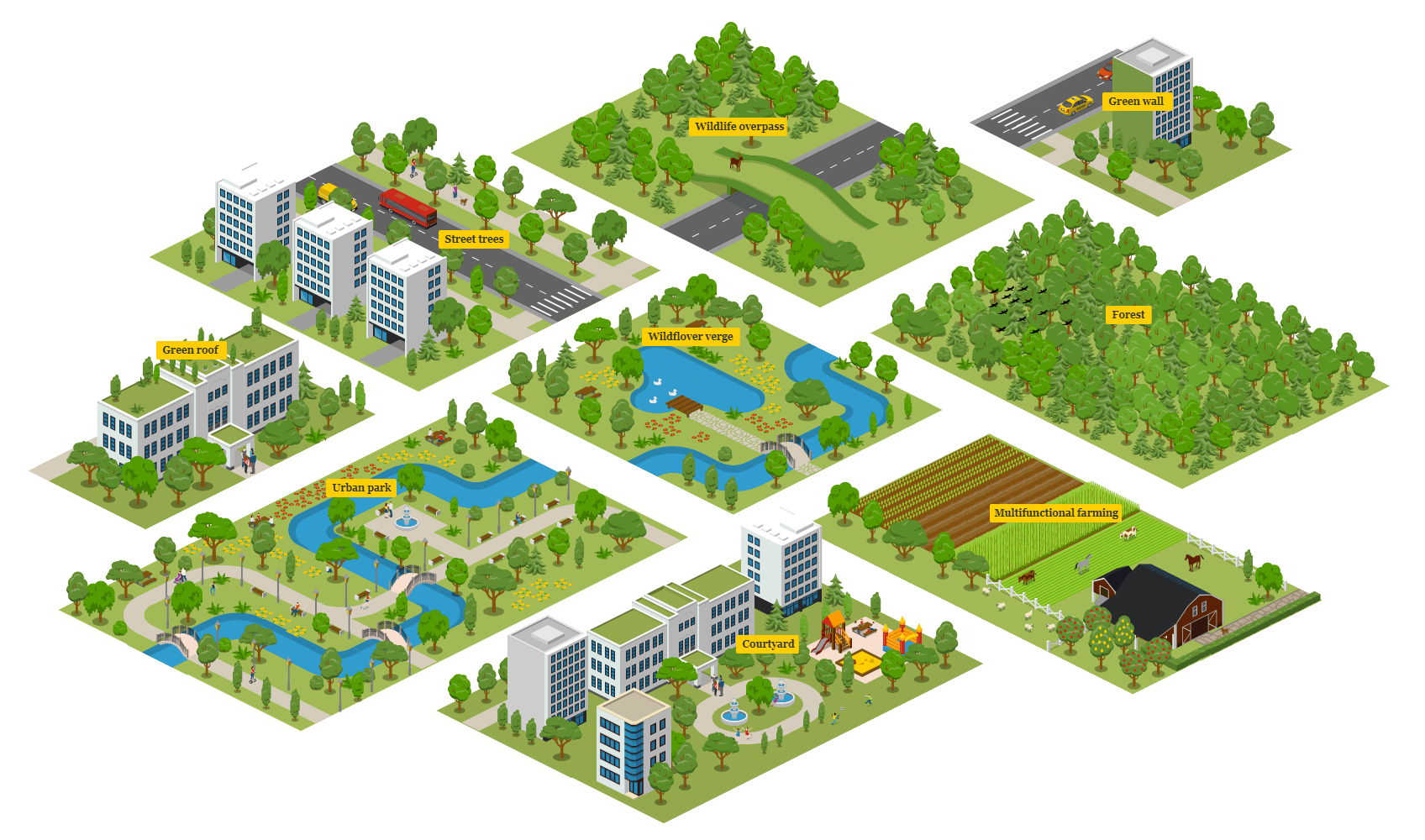
Urban Mapping Excellence
Precision polygons for city planning
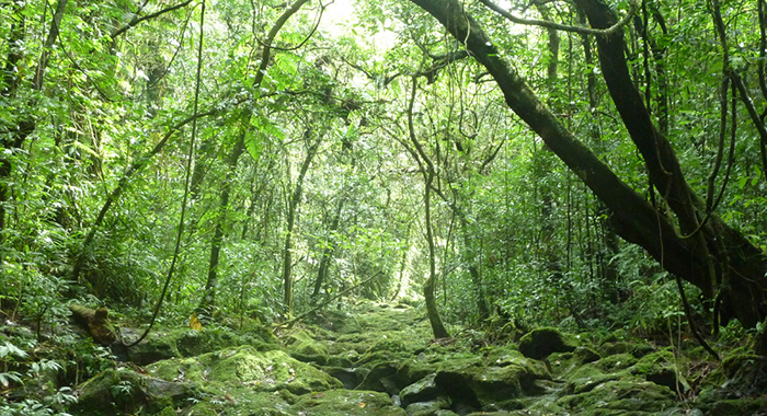
Forest & Natural Reserves
Detailed vegetation zones

Hydrography & Coastal Zones
Lakes, rivers, maritime boundaries

Commercial & Retail Hubs
High-density POI polygons