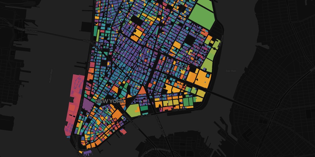
Administrative Boundaries
Comprehensive global administrative boundary datasets including postal boundaries
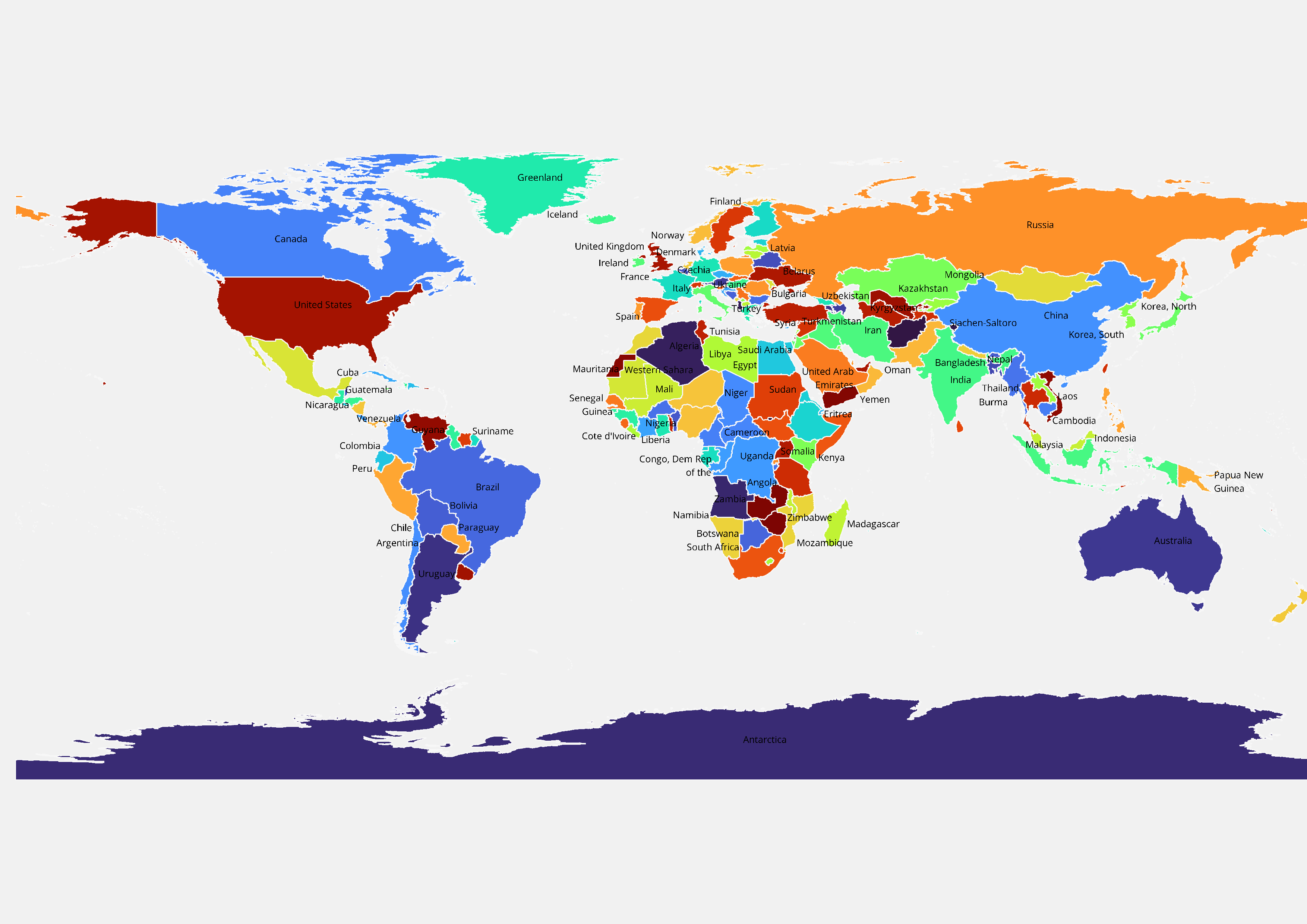
Country Boundaries
Accurate international boundaries with ISO codes, country names, and metadata for worldwide coverage.
Learn More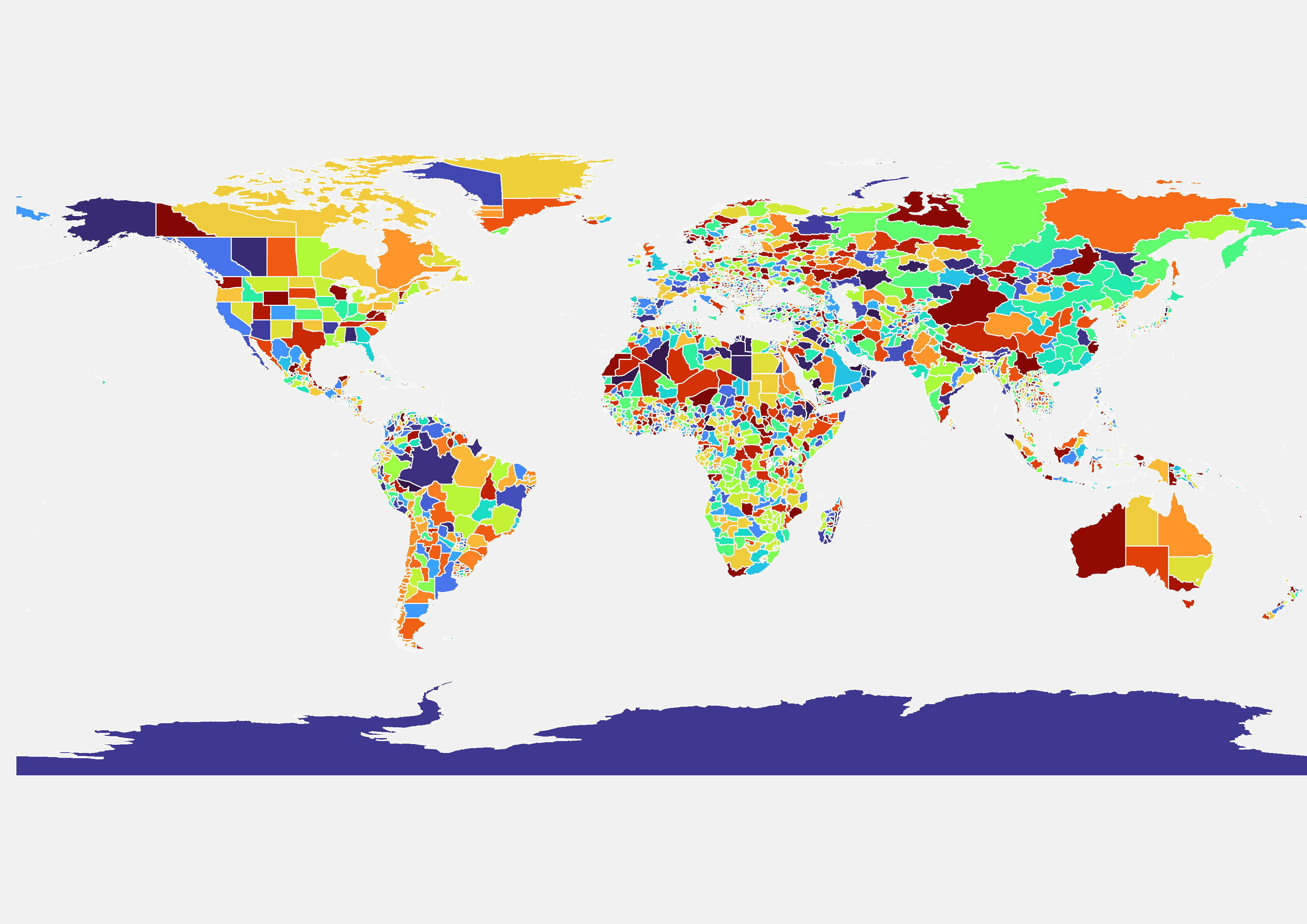
State / Province
First-level administrative divisions including states, provinces, and regions with official codes.
Learn More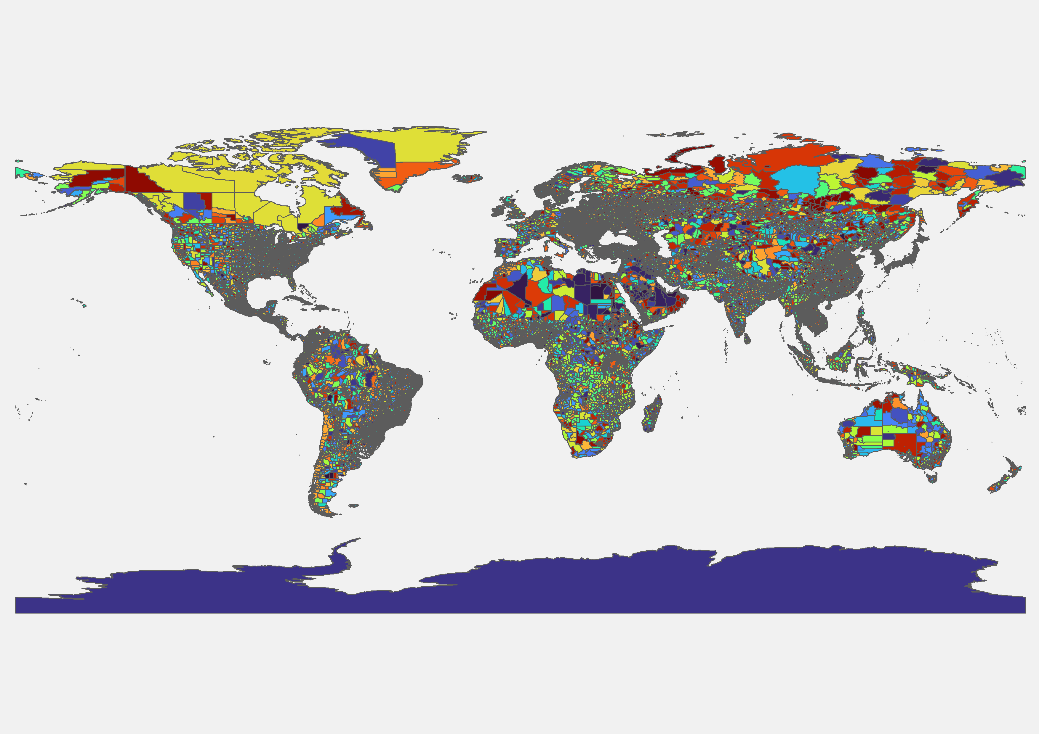
District Boundaries
Second-level administrative units such as districts, counties, and prefectures with boundary geometry.
Learn MoreCity & Municipality
Urban administrative boundaries including cities, municipalities, and metropolitan regions.
Learn MoreTaluk / Sub-District
Detailed sub-district boundaries such as taluks, tehsils, townships, and similar divisions.
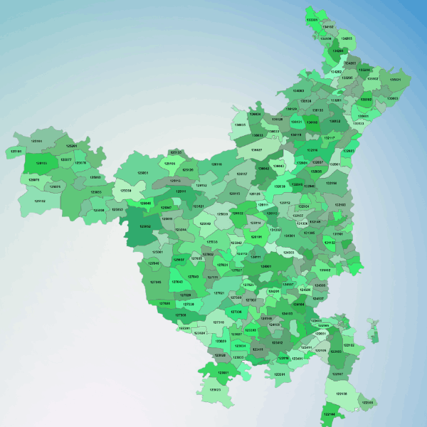
Postal Boundaries
Comprehensive postcode and ZIP code polygons for geocoding, logistics, and delivery optimization.
Learn More

.png)