Orthophoto Processing
High-precision, georeferenced aerial imagery with uniform scale for accurate measurements and analysis.
High-precision, georeferenced aerial imagery with uniform scale for accurate measurements and analysis.
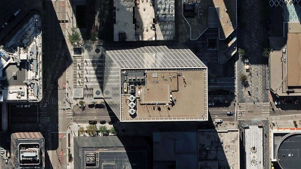
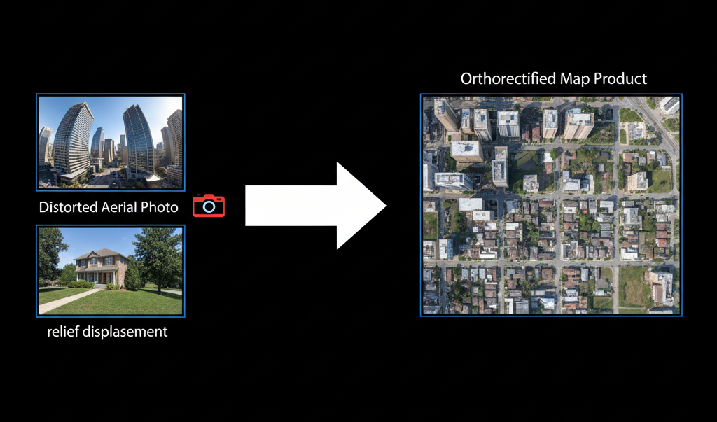
Standard aerial photographs contain distortions due to terrain relief, camera tilt, and lens characteristics. These distortions make accurate measurements impossible and limit the usefulness of imagery for planning and analysis.
Distorted aerial imagery leads to inaccurate measurements and planning errors
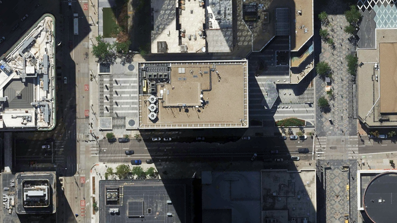
Precision orthorectification for accurate, measurable imagery
Eliminate distortions for accurate measurements across the entire image
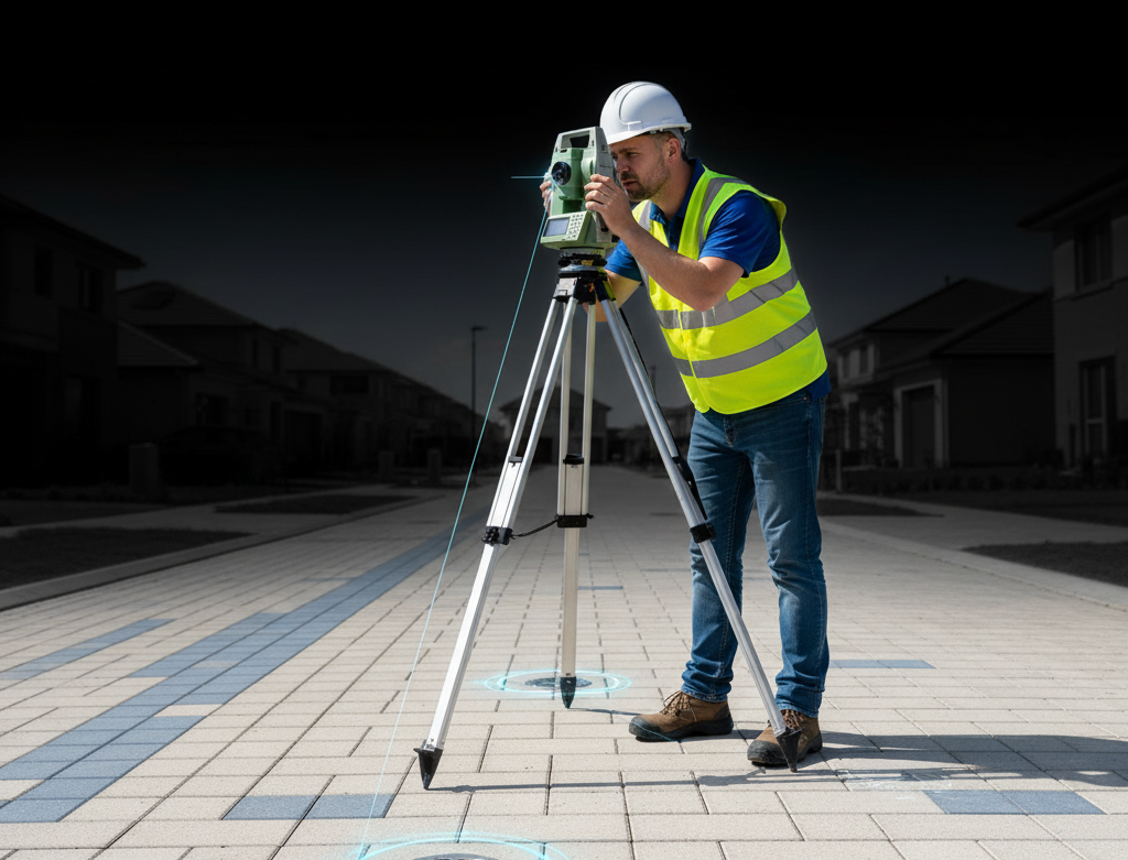
Accurate positioning with survey-grade control points
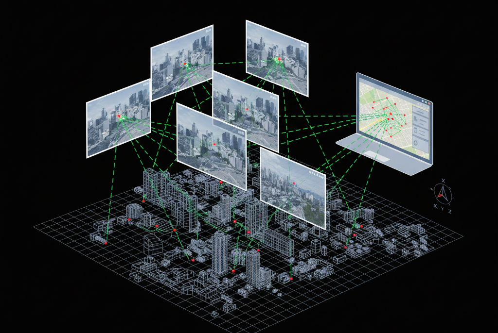
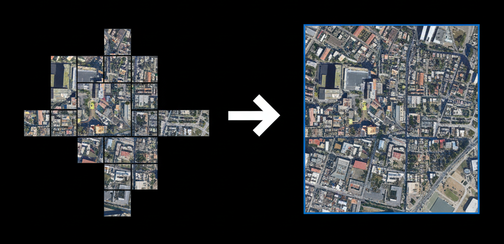
Create continuous image maps from multiple overlapping photos
Consistent color and tone across the entire orthomosaic
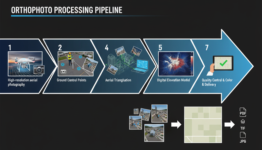
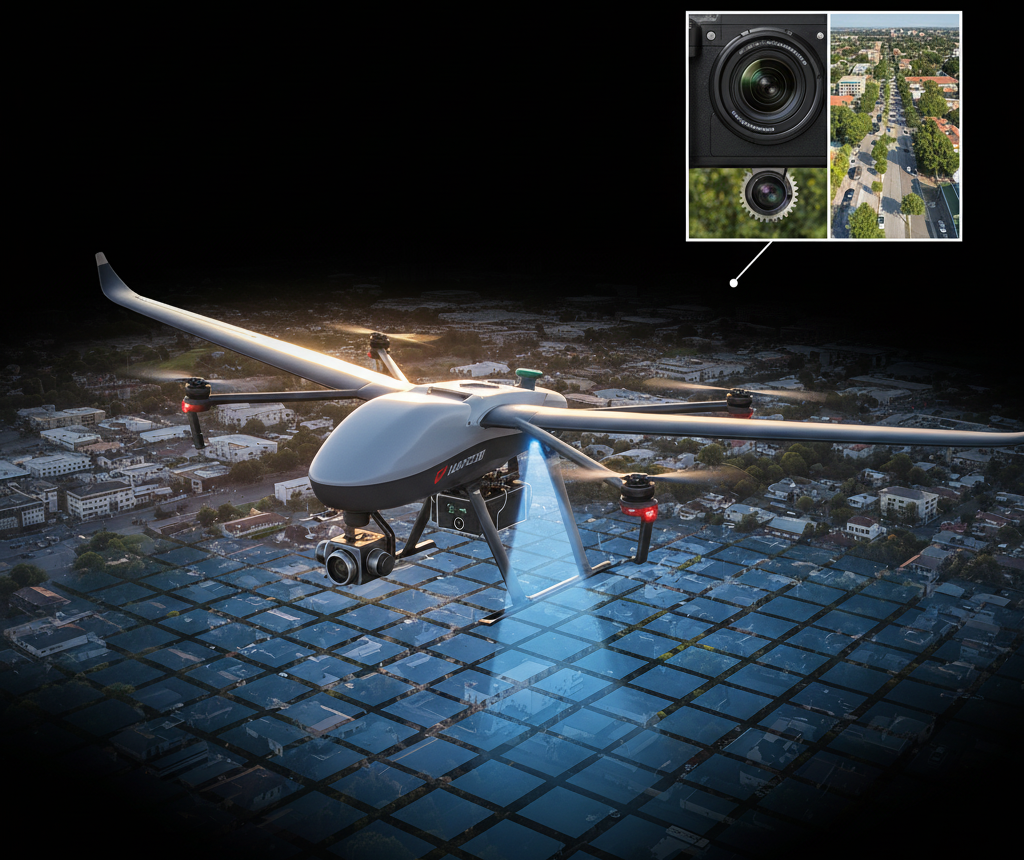
High-resolution aerial photography captured with specialized cameras mounted on aircraft or drones, with significant overlap between images.
Survey-accurate ground control points are established and measured for precise georeferencing of the imagery.
Advanced photogrammetric processing to determine the precise position and orientation of each photograph.
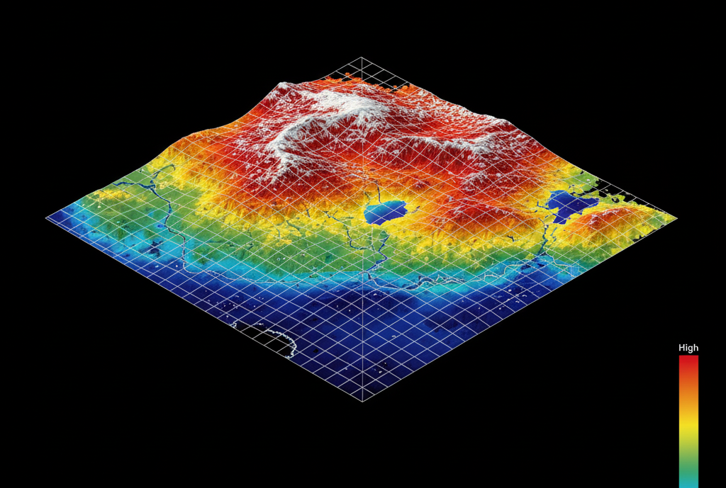
Creation of a high-resolution digital elevation model to account for terrain variations during orthorectification.
Transformation of each pixel to correct for relief displacement, camera tilt, and lens distortion.
Seamless stitching of individual orthophotos into a continuous map with uniform color and tone.
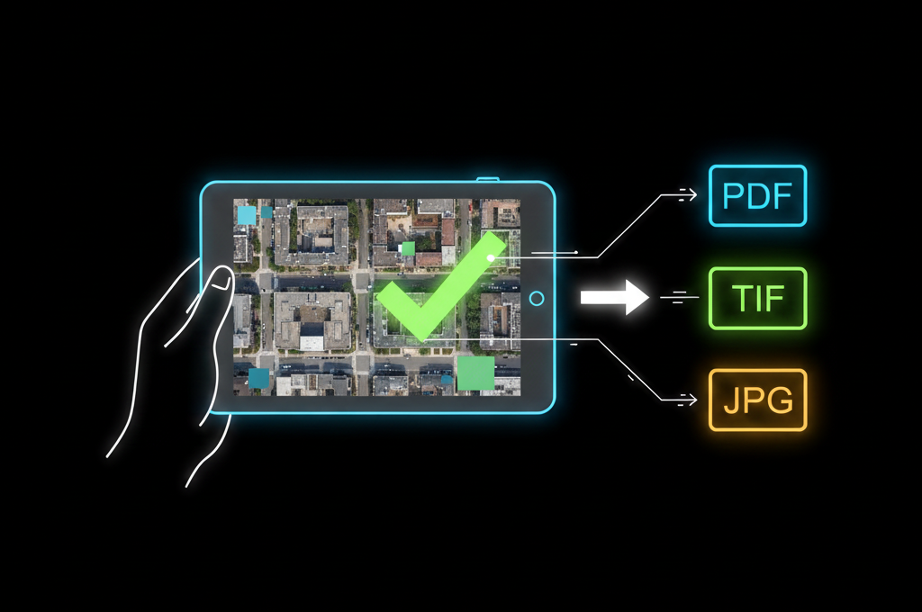
Rigorous accuracy assessment and delivery in multiple formats for various applications.
Base maps for zoning, development planning, and infrastructure projects with accurate measurements.
Planning and maintenance of power lines, pipelines, and communication networks.
Tracking changes in land use, vegetation health, and natural resource management.
Property boundary delineation and land registration with precise spatial reference.
Accurate background imagery for geographic information systems across various industries.
Pre- and post-event imagery for damage assessment, response planning, and recovery monitoring.
| Parameter | Standard | Premium | Survey Grade |
|---|---|---|---|
| Spatial Resolution | 15-30 cm/pixel | 5-15 cm/pixel | 2-5 cm/pixel |
| Horizontal Accuracy | 1-3 meters RMSE | 0.3-1 meter RMSE | 0.05-0.3 meters RMSE |
| Radiometric Resolution | 8-bit | 16-bit | 16-bit |
| Spectral Bands | RGB | RGB, NIR | Multispectral (4-8 bands) |
| Tile Size | 250m x 250m | 500m x 500m | Custom |
| Output Formats | GeoTIFF, JPEG2000 | GeoTIFF, ECW, MrSID | All standard formats |
| Coordinate Systems | UTM/WGS84 | Multiple standards | Any custom system |
| Output Data Types | Orthomosaic | Orthomosaic, DSM | Orthomosaic, DSM, DTM, Point Cloud |
| Processing Time | 3-5 business days | 1-2 business days | Custom |
Our orthophoto processing services deliver accurate, measurable imagery for your most demanding applications.